|
|---|
| SIGNAL PEAK LOOKOUT | |
|---|---|
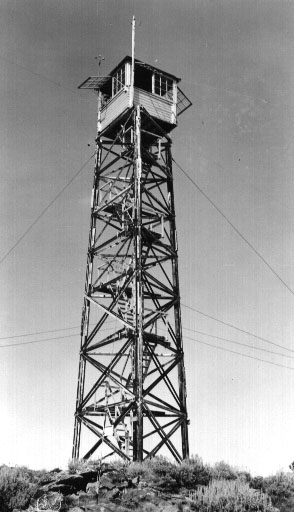
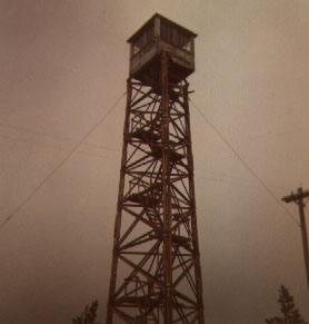
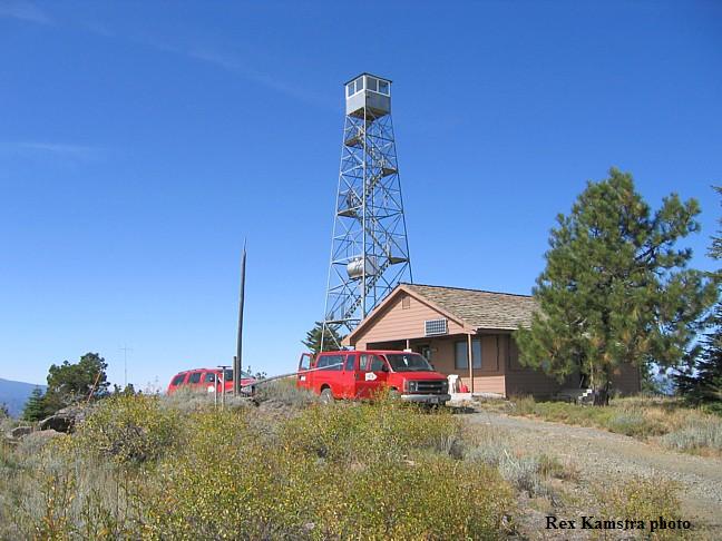
Developed by a limber pole tower and tent in 1920, this 3-legged 55' wooden tower with 8x8' cab along with ground house living quarters, were built in 1935. The tower was replaced in 1964 by a 68' all-steel tower moved from Panther Creek L.O. It is staffed during the summer. |
|
| Yakama Indian Reservation | |
| 17 miles east of Mt. Adams | |
| Yakima County, Washington | |
| Elevation 5100' | |
|
|
|---|