|
|---|
| SUGARLOAF MOUNTAIN LOOKOUT | |
|---|---|
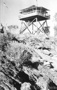
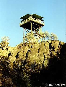
A 15' wooden L-4 was built here in 1932, replaced by the present 32' treated timber L-4 in 1949. It is available for emergencies, and is listed on the National Historic Lookout Register. |
|
| Malheur National Forest | |
| 25 miles NNW of Burns | |
| Harney County, Oregon | |
| Elevation 6128' | |
|
|
|---|