|
|---|
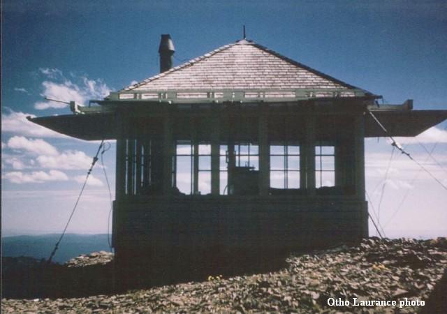
| STRAWBERRY MOUNTAIN LOOKOUT | |
|---|---|
| R.I.P. 1941-1966 | |
Originally called Logan Butte in the 1860s, a phone line was installed to the summit in 1913. A firefinder was installed in 1914. The first structure, a ground cabin made of sheet steel, was added in 1916. It was destroyed by wind the following spring. A D-6 cupola cabin was eventually constructed in 1921, replaced by an L-4 cab in 1941. It was destroyed in 1966. |
|
| Malheur National Forest | |
| 11 miles southeast of John Day | |
| Grant County, Oregon | |
| Elevation 9038' | |

|
|---|