

|
|---|
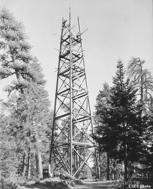
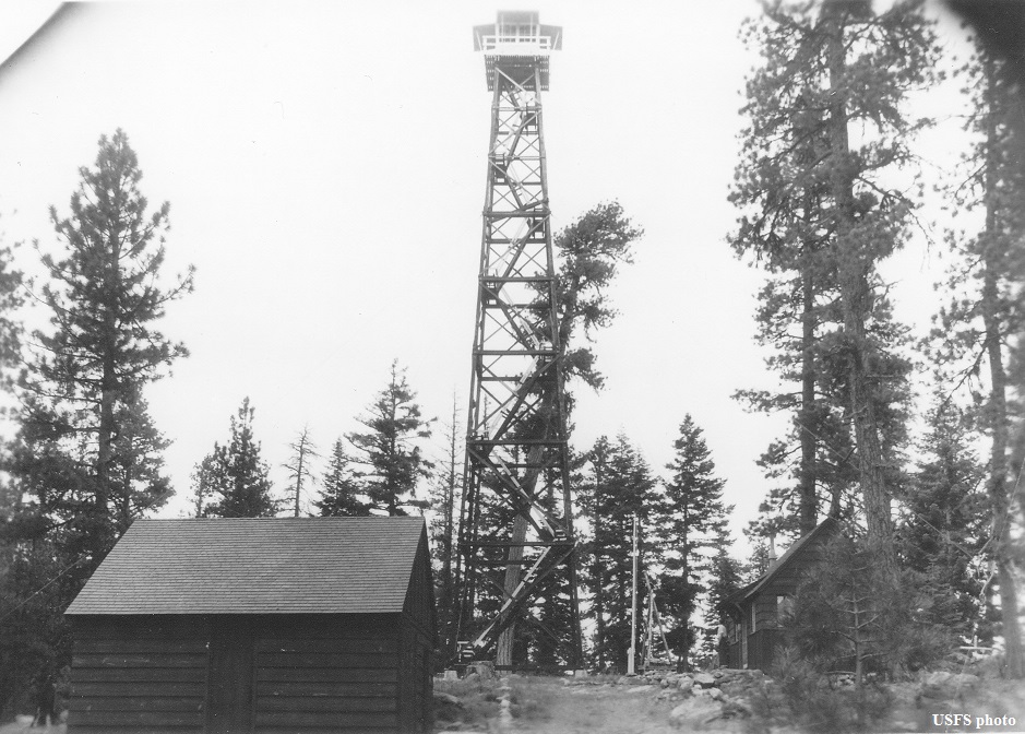
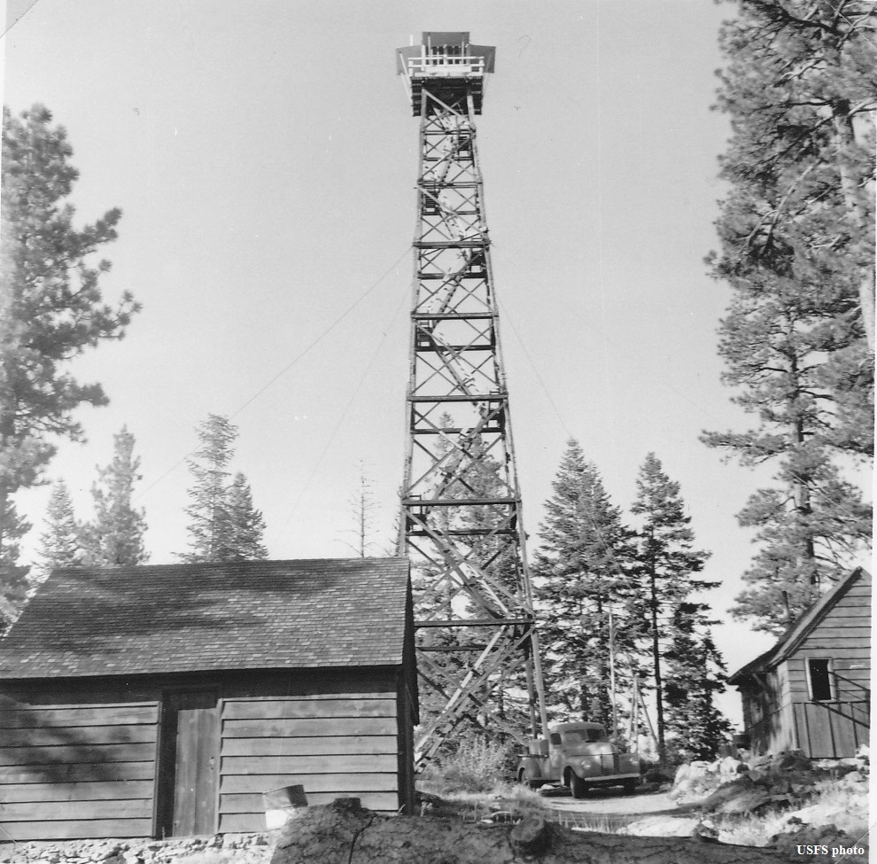
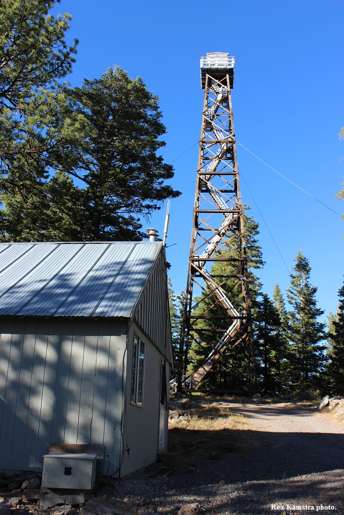
| FRAZIER POINT LOOKOUT | |
|---|---|
Established as an emergency lookout post in the early 1930s on a rock point 1/2 mile southeast, the present 100' treated timber tower with 7x7' cab along with ground cabin living quarters, built in 1936, was staffed every summer until 2008. The original cabin living quarters burned down in the 1970s, then the garage was converted to housing. Condemned, the tower may be removed in the near future. Note the accent angle of the stairs at the bottom compared with the ones near the top! |
|
| Malheur National Forest | |
| 27 miles southeast of John Day | |
| Grant County, Oregon | |
| Elevation 6290' | |
|
|
|---|