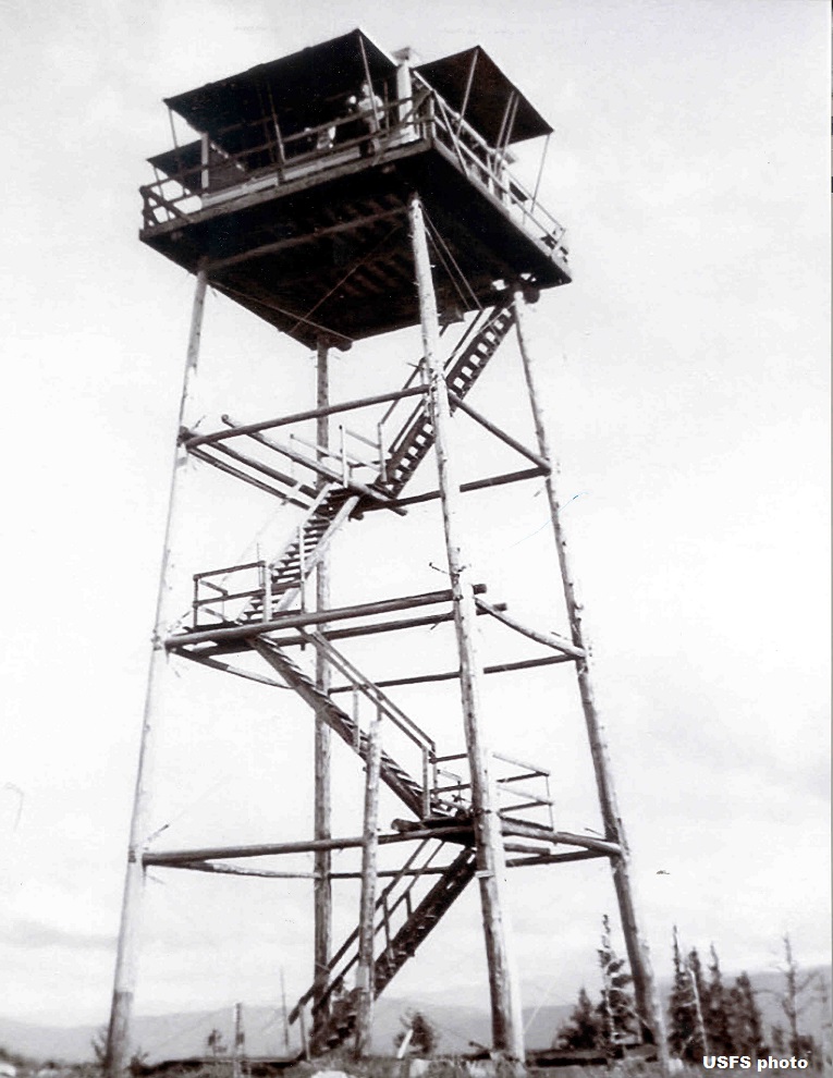
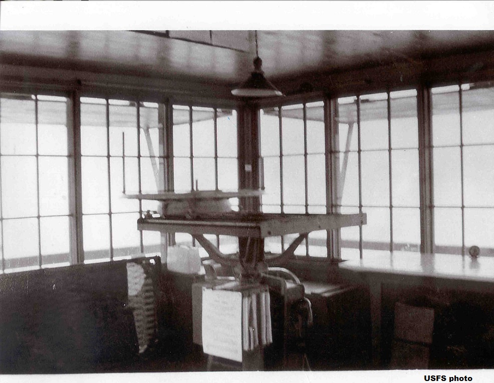
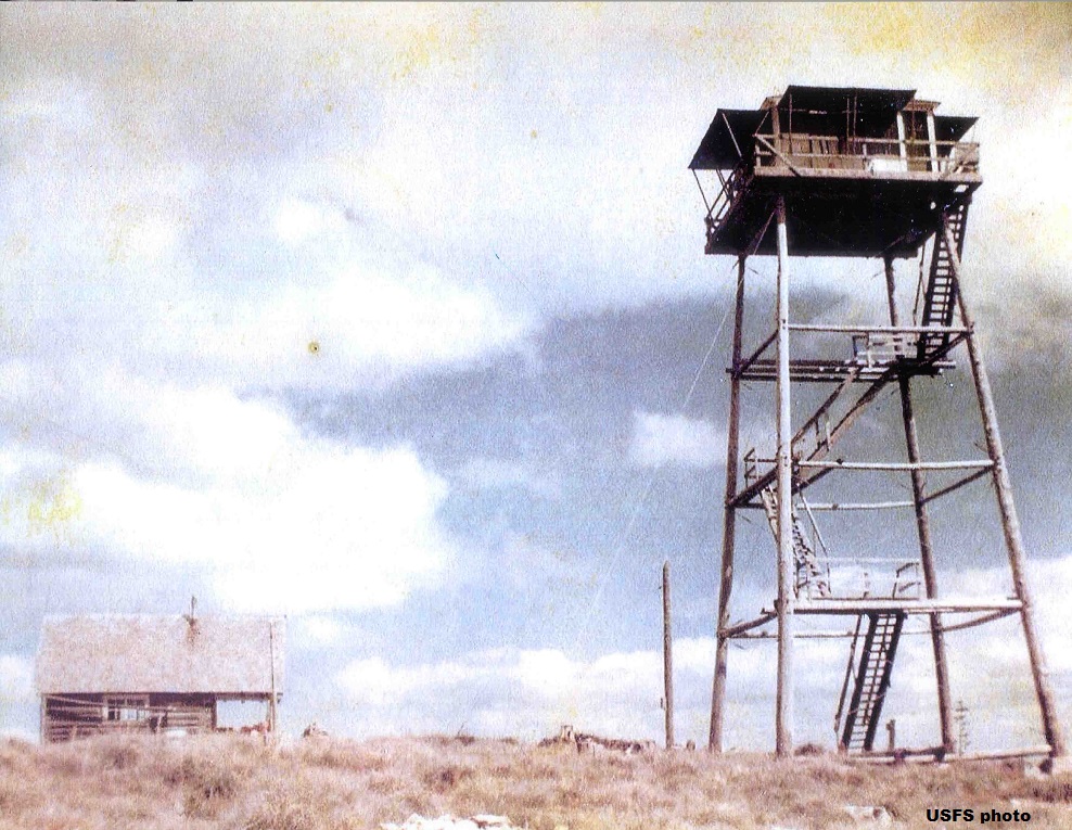
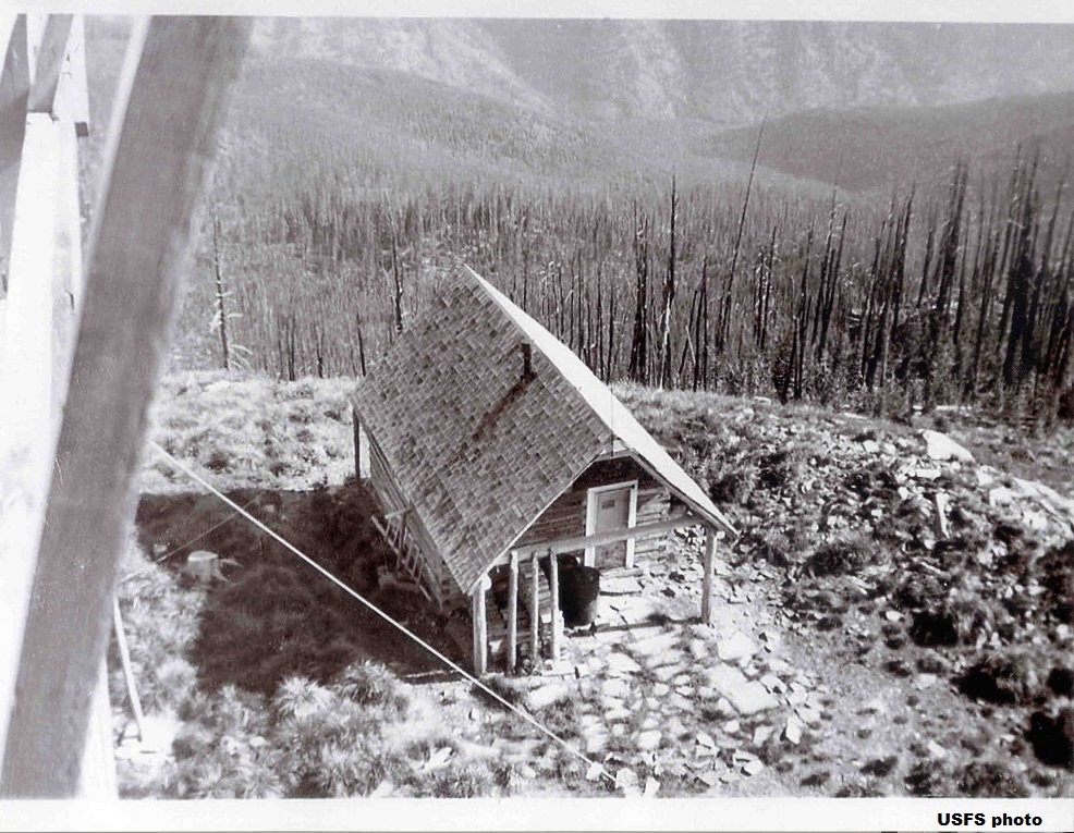
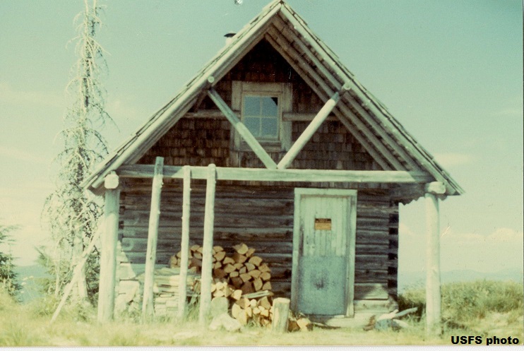
DRIVEWAY PEAK LOOKOUT
1929: crows nest, log cabin. 1939: 50' pole L-4 tower. Tower destroyed 1978.
Lolo National Forest
10 miles west of Thompson Falls
Sanders County, Montana
Elevation 6407'
Click for larger image
Photos courtesy the U.S. Forest Service