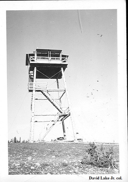
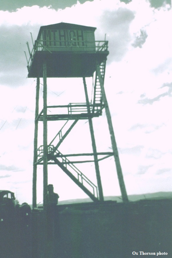
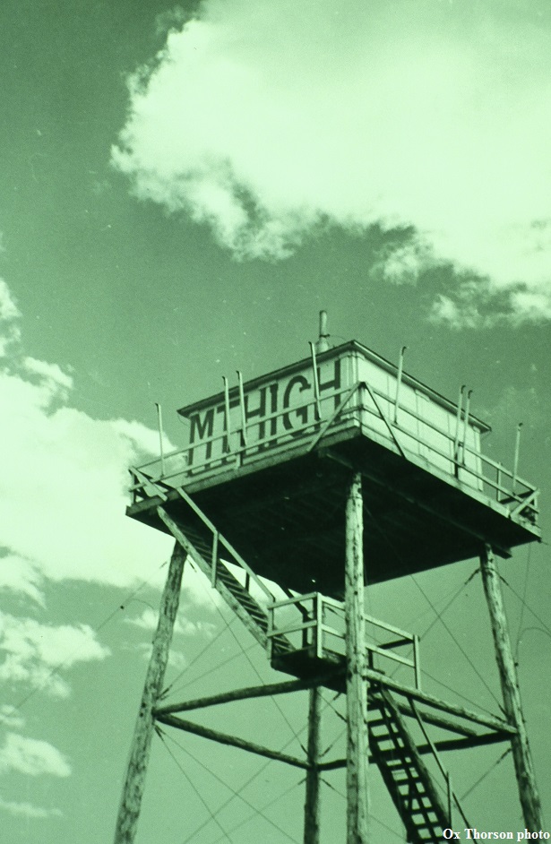
MOUNT HIGH LOOKOUT
1936: 40' pole L-4 tower. Destroyed 1968.
Lewis & Clark National Forest
24 miles southeast of Neihart
Judith Basin/Meagher County, Montana
Elevation 8242'
Click for larger image
Photos courtesy the U.S. Forest Service